Ha Giang Off-Road Motorbike Tour
This route covers a large section of the remote northern mountains near the Chinese border. Starting from Hanoi, it moves through the limestone karst landscapes around Cao Bang, across the stone plateau of Ha Giang province, and down through Bac Ha and Sapa to Lao Cai. The journey averages around 200 km per day across paved mountain roads, dirt tracks, and remote backcountry trails rarely visited by outsiders.
This is one of the most complete motorcycle adventures in northern Vietnam. The ride reaches the stone highlands near the Chinese border and offers a close look at life in ethnic minority communities across the region.
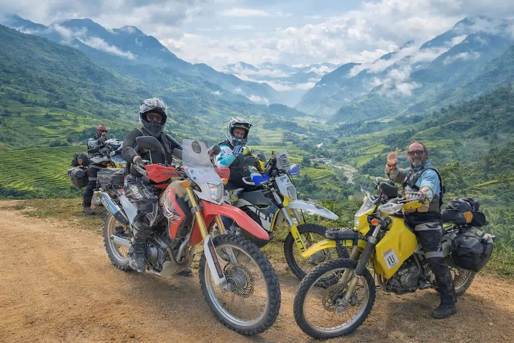
The route crosses the stone plateau north of Ha Giang city and continues to Lung Cu, the northernmost point of Vietnam. Ethnic groups including the H’mong, Tay, and Dao live throughout this region. The ride passes through villages, local markets, and terraced rice fields at elevations above 1,500 metres.
Ride Overview
The journey runs northeast from Hanoi to That Khe and Quang Uyen before reaching Cao Bang and the Ban Gioc waterfall area. From there it continues west to Ba Be, then south into Bao Lac and back into Ha Giang province via Meo Vac and Dong Van. The return section passes through Ha Giang city, Bac Ha, Sapa, and Lao Cai.
The route includes the Dong Van Karst Plateau Geopark, a UNESCO-recognised area with over 2,300 square kilometres of limestone formations. The sections north of Meo Vac and Dong Van include exposed high-altitude riding with technical terrain. The Ma Pi Leng pass, a 20 km stretch connecting Dong Van and Meo Vac, follows the edge of the Nho Que River canyon. Total distance ranges from 1,400 to 1,600 km depending on the route variation.
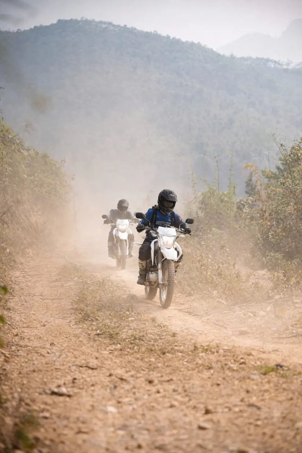
Riding Style and Terrain
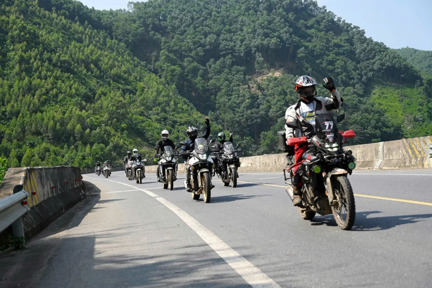
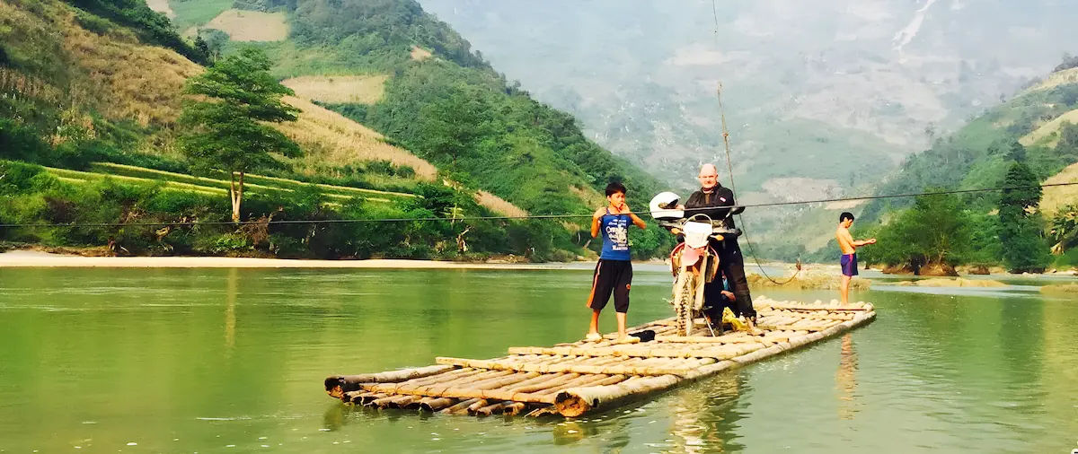
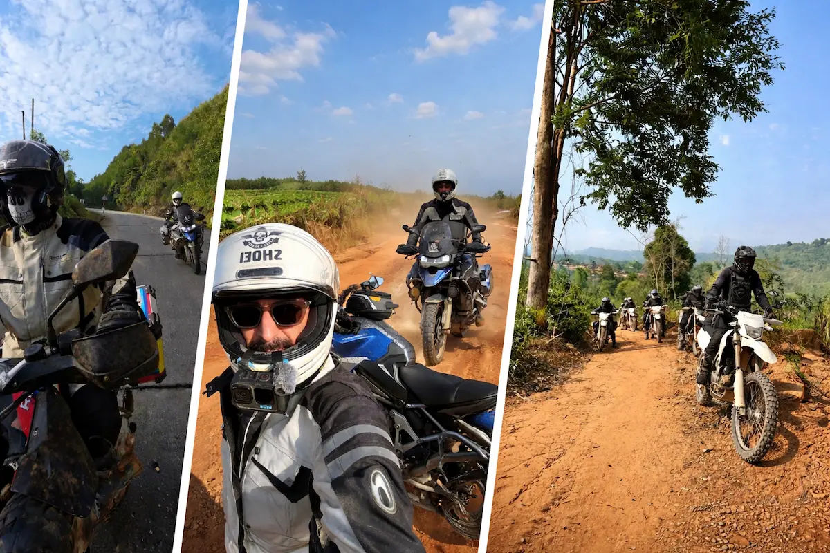
The riding combines paved mountain roads with dirt tracks and off-road sections. It is suited to experienced riders who are comfortable handling technical terrain. Quiet countryside roads connect the main towns, while local trails and hard-packed or uneven dirt tracks lead into more remote areas. Conditions vary depending on the season, and the itinerary adjusts to weather and rider preference.
Skill level required: intermediate to advanced. Riders should be confident on loose gravel, narrow trails, and steep descents before joining this tour.
Key Destinations on the Route
Ma Pi Leng
Ma Pi Leng is a 20 km mountain pass connecting Dong Van and Meo Vac. It runs along a cliff edge above the Nho Que River canyon, with tight switchbacks and steep drops. It is one of the most technical and visually striking sections of the entire loop.
Lung Cu Flag Tower
Lung Cu marks the northernmost point of Vietnam, located around 20 km from Dong Van town. The tower sits on Dragon Mountain and requires a short walk to reach. The surrounding area features traditional H’mong houses and terraced farmland.
Sung La Valley
Sung La Valley lies between limestone mountains south of Dong Van. It features H’mong villages and terraced fields that shift in colour through the seasons. The dirt tracks through the valley are quieter than the main route.
Dong Van Karst Plateau Geopark
The Dong Van Karst Plateau is a UNESCO Global Geopark covering 2,300 square kilometres. It contains limestone formations, deep valleys, and extensive cave systems. The ride crosses some of the oldest karst landscapes in Asia, with villages belonging to groups such as the H’mong and Lo Lo spread across the plateau.
Hoang Su Phi Terraced Fields
Hoang Su Phi lies south of Ha Giang city. The rice terraces stretch across steep mountain slopes and are most vibrant during the September to October harvest season. Accessing higher viewpoints requires off-road riding experience.
Quan Ba Heaven Gate and Twin Mountains
Quan Ba Heaven Gate is a mountain pass north of Ha Giang city with wide views across surrounding valleys. The Twin Mountains, known locally as Nui Doi, rise distinctly from the valley floor. The area also includes traditional villages and terraced landscapes.
Best Time to Ride
September to November offers the most stable conditions. The harvest season brings golden rice terraces, dry weather, and reliable tracks. March to April is another good period, with cooler temperatures and flowering trees across the mountains. June to August sees heavy rain, making high-altitude trails more challenging and unpredictable.
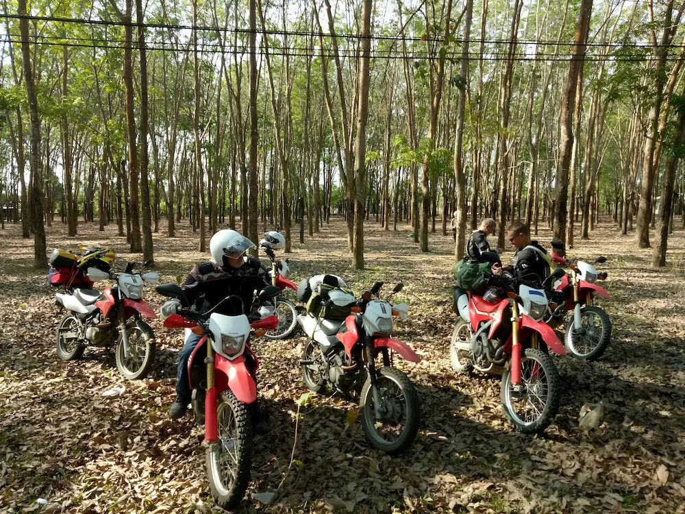
Bikes and Riding Gear
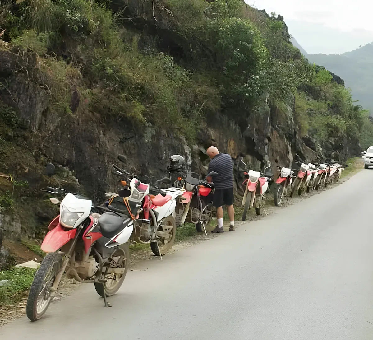
The tour uses Honda XR190, CRF 250, CRF 300, or CB500X depending on availability and rider preference. All bikes are maintained throughout the trip. An English-speaking guide leads the group, with a support mechanic following behind.
Riders should bring a certified helmet, gloves, boots with ankle support, and a waterproof jacket. Temperatures above 1,500 metres can drop at night, so layered clothing is recommended. Eye protection and sunscreen are useful on exposed sections.
Tour Cost
Pricing depends on the bike type and accommodation selected. Where available, 3-star and 4-star hotels are used. In more remote areas, accommodation includes local homestays with private bathrooms and comfortable facilities. All prices are per package.
Contact me with your preferred dates, group size, and bike preference for a detailed quote.
Sample Itinerary
13-Day Route
Day 1 Hanoi to That Khe, 200 km on paved mountain roads. Day 2 That Khe to Cao Bang via Quang Uyen. Day 3 Cao Bang to Ban Gioc and Ba Be. Day 4 Ba Be to Bao Lac on forest dirt tracks. Day 5 Bao Lac to Meo Vac across high-altitude terrain. Days 6 to 7 Meo Vac, Dong Van, Lung Cu, and Ma Pi Leng loop. Days 8 to 9 Ha Giang to Bac Ha. Day 10 Bac Ha to Sapa. Day 11 Sapa to Lao Cai.