- Late model motorcycle with all fuel
- 3 – 4 Star Motorcycle Friendly Hotels with breakfast
- Welcome dinner
- Guide / rider
- Daily refreshing (2-3 times a day)
- Vietnam visa
- Airport transfer on day 1 & day 16
- Entrance fees

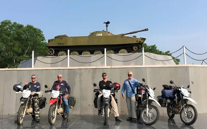
Guided Tour

16 days / 15 nights • Guided • 2,100 mi / 3,380 km
This 16-day motorbike tour runs the full length of Vietnam from Ho Chi Minh City to Hanoi, following the Ho Chi Minh Trail through the Central Highlands, the wartime DMZ, Phong Nha’s cave systems, and the terraced valleys of the north before finishing on the limestone karst roads of Ha Giang. The route covers approximately 3,380 kilometers on a mix of sealed mountain highways, single-track backroads, and off-road dirt trails. Daily distances average 160 to 260 kilometers.
Tour highlights:

day 1: 190 km
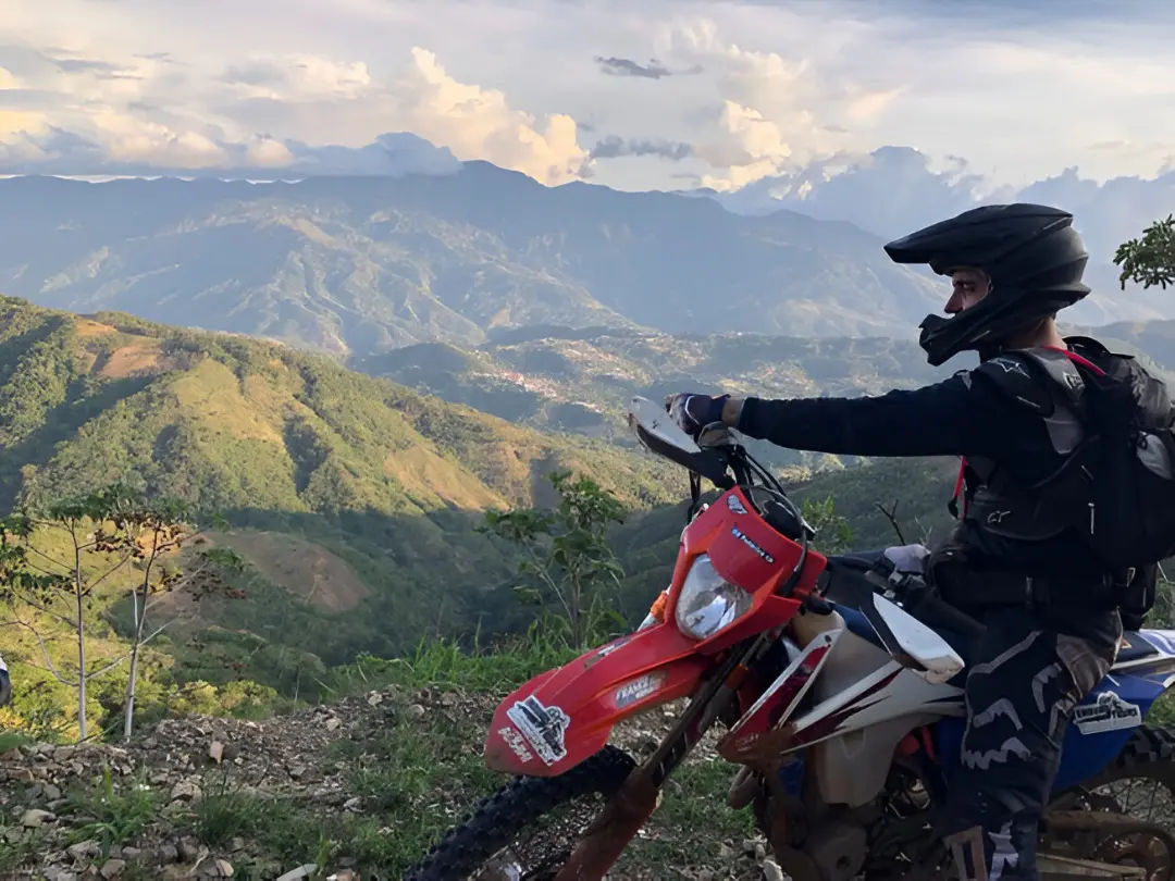
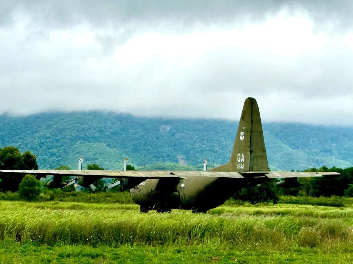
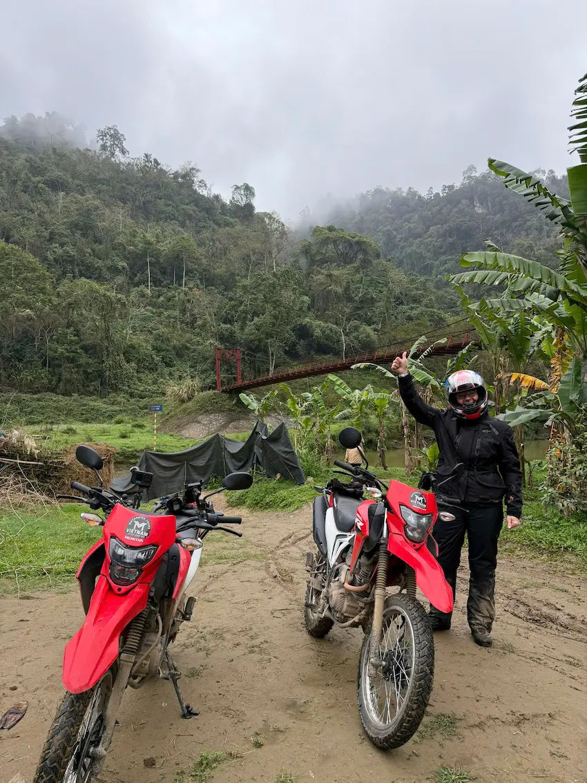
The tour departs Ho Chi Minh City north through Dong Nai province on Highway 20, leaving the city traffic behind as the road opens into rubber and cashew plantations. Cat Tien National Park, covers 71,920 hectares of tropical lowland forest along the Dong Nai River and was a wartime military supply corridor heavily sprayed with Agent Orange between 1961 and 1971. Large sections of bamboo and open grassland mark areas where dense forest has not yet recovered. An afternoon off-road trail through the park gives a direct look at its jungle tracks, wildlife corridors, and the visible impact of wartime herbicide use.

day 2: 200 km
Today we take an exciting dirt road toward the Central Highlands on one of Vietnam’s most scenic mountain roads, featured in the BBC Top Gear Vietnam Special. Da Lat sits at 1,500 meters above sea level in Lam Dong province and averages 18 to 24°C year-round, the coolest major city in southern Vietnam. The route passes pine forests, coffee farms, and valley villages before reaching the city. Da Lat’s French colonial architecture, flower gardens, and Xuan Huong Lake reflect its development as a highland resort from the 1890s, and the afternoon is free to explore the markets, cathedral, and surrounding waterfalls.

day 3: 200 km
Three mountain passes cross today’s route west: Krong No, Chuoi, and Phu Son, all flanked by dense highland forest on narrow roads with light traffic. Road 27 connects to Lak Lake, a 10 km² freshwater lake at 490 meters elevation and home to the M’Nong ethnic community, historically known for elephant taming across 31 distinct ethnic groups in Dak Lak province. Buon Ma Thuot, the provincial capital, produces more coffee than any city in Vietnam and sits at the center of a plateau with over 90,000 hectares of robusta plantation. A stop at a local coffee bar before leaving town is standard on this route.
day 4: 240 km
Today we take an adventure through the southern segment of the Ho Chi Minh Trail corridor, runs north through Gia Lai province past uninterrupted coffee and rubber plantations on a full dirt trail. Pleiku at 785 meters is the provincial capital and lunch stop before the route follows the Tun River into Kon Tum. Gia Rai and Ba Na stilt-house villages sit directly alongside the highway for much of this stretch. Kon Tum’s Catholic cathedral, built in the early 20th century by French missionaries using Ba Na timber construction methods, is one of the most unusual colonial religious structures in the Central Highlands, with an orphanage run by French nuns behind it.
day 5: 300 km
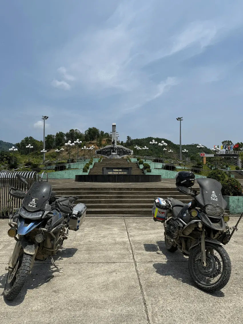
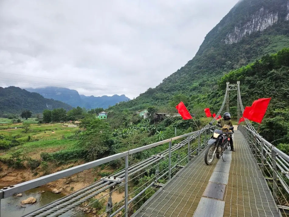
We continues north through a bumpy highland section past pineapple plantations and ethnic minority settlements along the Dak Po Ko river, with hanging bridges built by local communities to cross the opposite bank. We ride to Kham Duc, a small sleepy town, once was the site of a major Vietnam War engagement from 10 to 12 May 1968, when the People’s Army of Vietnam’s 2nd Division attacked the US Special Forces camp in what is now Quang Nam province. After a short stop, we carry on to Hoi An.
day 6: No Ride
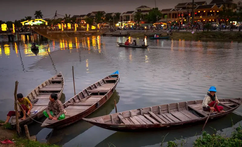
To many, Hoi An is the most beautiful town in Vietnam and for that, we have a free day to spend explore this magnificent town. Walk through the old town, enjoy a coffee time, take a boat through the Thu Bon river and or get drenched at the nearby beach, Hoi An has them all.

Day 7: 160 km
The coastal road north passes Da Nang’s My Khe beach, where US Marines landed in March 1965 as the first American combat troops deployed in Vietnam. Hai Van Pass climbs to 496 meters over a 21 km stretch on National Route 1, crossing the provincial border between Da Nang and Thua Thien Hue. Hue served as imperial capital of Vietnam under the Nguyen dynasty from 1802 to 1945, and its Complex of Hue Monuments has been a UNESCO World Heritage site since 1993. The Imperial Citadel, Forbidden Purple City, and Royal Tombs are all within riding distance of the city center.
Day 8: 200 km
Today we take a mountain passes out of Hue toward the Da Krong and Khe Sanh, before reaching the hotel, we tae a visit to the war relic museum to get familiar with the war. The Combat Base at Khe Sanh, near the Laos border, held a siege from 21 January to 9 July 1968 involving two US Marine regiments against two to three divisions of the People’s Army of Vietnam.
Day 9: 200 km
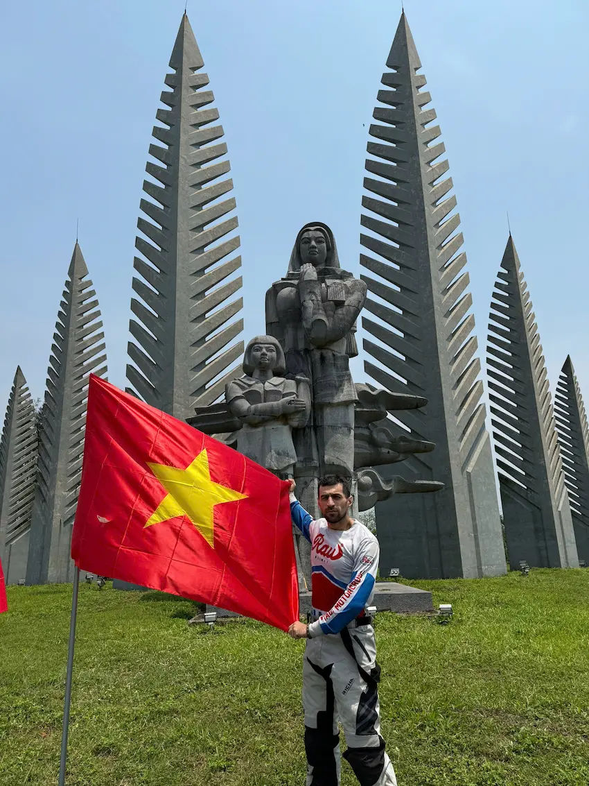
Today we take a few visit to the DMZ, first we carry on toward the Vinh Moc tunnel network, dug 17 to 23 meters underground between 1966 and 1967, sheltered an entire village during US bombing of the DMZ coastal strip. The DMZ, established at the 17th parallel in 1954 following the Geneva Accords.
Next, we rive along the western Ho Chi Minh Trail passing Sa Mu Pass, the Se Pang Heng river, and U Bo Pass, all areas of significant wartime activity used by the Paco and Van Kieu minorities who still live in villages along this corridor. The road runs through dense jungle and mountain scenery with no major towns between Khe Sanh and Phong Nha-Ke Bang National Park.
Day 10: 260 km
The longest day heads north through Nghe An on roads lined with tea plantations, rice fields, and ethnic minority villages in the Truong Son foothills. Tan Ky town holds Km0, the official starting marker of the Ho Chi Minh Trail, from which millions of tons of weapons, fuel, and supplies were transported south between 1959 and 1975 across a network. The ride arrives in Tan Ky in the late afternoon after passing through largely rural and unhurried countryside.
Day 11: 210 km
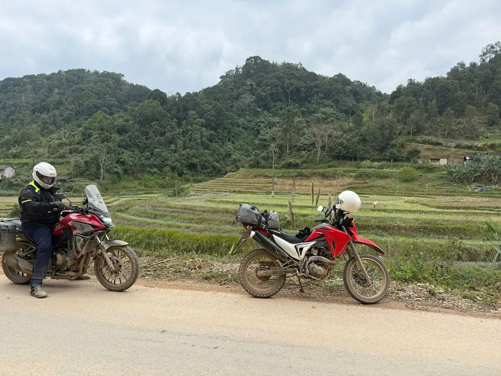
The ride west into Thanh Hoa transitions from Nghe An’s lowland plains into mountain terrain as the road climbs toward Pu Luong Nature Reserve, which spans elevations from 400 to 1,700 meters across 17,662 hectares. The reserve is home to White Thai and Black Thai communities, two branches of the same ethnic group skilled in wet rice cultivation and traditional weaving, living in stilt houses above hand-irrigated terraces. Water wheels on valley streams are still used for daily milling, and water buffalo work the fields within sight of the road. The road through the reserve is sealed but narrow with regular switchbacks above the valley floor.

Day 12: 210 km
Today we take the road through Mai Chau valley, a 340-meter basin farmed by White Thai communities for several centuries, before climbing into the hills of Yen Bai province on a road lined with high mountains, waterfalls, and green tea fields. Thac Ba is one of Vietnam’s three largest freshwater reservoirs, formed after the Thac Ba hydropower dam was completed in 1971, flooding 23,400 hectares of the Chay River valley. Vu Linh village on the lake’s eastern shore is a Dao ethnic community with direct water access; the homestay is built on stilts over the lake with exceptional views across the reservoir.

Day 13: 180 km
A lakeside road lined with palm trees and mountain views connects Vu Linh heading north toward Ha Giang, which is borders China’s Yunnan province and is home to 19 ethnic minority groups, the largest concentration of any province in Vietnam. Riders must collect a border zone travel permit from the Ha Giang Immigration Police before riding further north into the Dong Van Karst Plateau; the permit process takes approximately 30 minutes and is required for all foreign riders without exception.

Day 14: 160 km
The ride today is leading us to some of the most interesting mountain passes Ha Giang region has to offer. The Dong Van Karst Plateau Geopark, a UNESCO Global Geopark since 2010, begins north of Ha Giang on roads that climb above 1,400 meters through H’mong and Dao villages growing corn from limestone rock with no topsoil. We cross the famous Ma Pi Leng Pass at 1,200 meters above the Nho Que River is a 20 km section of hand-carved road completed in 1965 by young volunteers with no machinery.
Day 15: 160 km
Meo Vac district sits above 1,000 meters on the Rock Plateau of Dong Van and borders Cao Bang province to the east, with H’mong, Kinh, Tay, and Dao communities whose cultural traditions remain largely unchanged. The road south leading us to the Ba Be National Park, established in 1992, covers 10,048 hectares and contains Ba Be Lake, the world’s only natural freshwater karst lake, at 145 meters elevation and 8 km in length with over 1,268 recorded species of flora and fauna. A local boat connects to the Tay village near Dau Dang waterfall for the homestay.

Day 16: 230 km
Today we take a boat ride through the lake, then, depart and take a scenic ride to Hanoi. Traffic increases significantly on Road 3 approaching the capital, and an early departure keeps the ride clear of Hanoi’s peak rush hour. The tour ends in central Hanoi, 230 km and 16 days from Saigon.
USD 1,400 / Per Person

USD 1,980 / Per Person
USD 1,900 / Per Person

USD 2,500 / Per Person
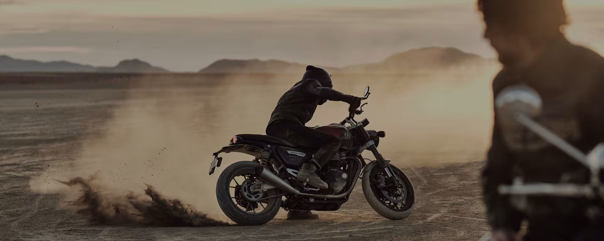
The best and most suitable motorbikes i can suggest for this 16 day long ride would be the CB500x, CRF250 or 300 and the biggest one, the BMW GS. With mix of road, dirt trails, mountain rides, all these motorbikes are capable to handle the routes with comfort.
I strongly advise you to bring your own gears along. A full-face helmet can be provided, but again, to ensure teh maximum comfort, please take your own riding gear.
The best time i can suggest would be from late September to the April. From late May, till August, we have rainy season, but many riders choose this time as the temperature is more chill during the day and it rains only 1-2 hours a day. No flood, no storm.